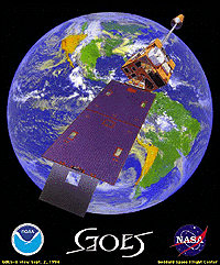
GOES
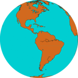
GOES-E: 75.2°W
Operator: National Oceanic and Atmospheric Administration (NOAA)
Type of orbit: Geostacionaraus
Instrument: ABI (Advanced Baseline Imager)
Spektrinių juostų skaičius: 16
Resolution at the subsatellite point: VIS/NIR: 0.5~1km, IR: 2km
Pictures are taken at 10 minutes intervals.
JAV vaizdai daromi kas 5 minutes. Pagalba NOAA aliarmo programoms yra įmanoma nuskaityti antžeminius plotus dažnesniais intervalais (pavyzdžiui, viena minute, net 30 sekundžių).
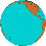
GOES-W: 137.2°W
The radiometer scans the earth's surface line by line; each line consists of a series of individual image elements or pixels. For each pixel the radiometer measures the radiative energy of the different spectral bands. This measurement is digitally coded and transmitted to the ground station for pre-processing before being disseminated to the user community. The data are distributed by the National Environmental Satellite and Information Service